


07 Aug Tim Walz is a map nerd
“He’s one of us, Jack.” So said one of the presenters at the 2024 Esri User Conference, held in July—an event for mapmakers who use GIS software—as Minnesota Governor Tim Walz walked out on the stage.
Walz, now the Democratic nominee for vice president, shared a little of his history with the crowd. Growing up in a small town in Nebraska, he spent summers working on a cattle ranch. At the end of the day, back in the bunk house at the ranch, he read through old issues of National Geographic, sparking an early interest in geography. Later, after joining the army, he became a geography teacher. And at a geography conference in the early 1990s, he picked up a floppy disk with a free copy of Esri’s GIS (“geographic information systems”) software.
He quickly taught himself how to use it. “I said to my colleagues, ‘This is going to change the way we teach and change the world,’” Walz said at the event last month. Walz’s love for maps eventually influenced how the state rolled out programs to fight childhood poverty and how the state communicated about the COVID-19 pandemic and climate change. And if the Harris-Walz ticket wins this November, it will undoubtedly play a role in his work in the White House.
Maps to help fight COVID-19
As a teacher, he used GIS to help students learning about the Holocaust understand that genocide could happen again. In 1993, his high school students in Nebraska built a global map that included layers with details about food insecurity, drought, and colonialism to try to predict where the next genocide could be. “They came up with Rwanda,” Walz told the crowd. “Twelve months later, the world witnessed the horrific genocide in Rwanda.” Many of the students went on to work at nonprofits.
Walz later served in Congress—where he bemoaned his colleagues’ lack of knowledge of geography—and was elected as governor of Minnesota in 2018. Soon into his first term, COVID-19 hit, and Walz turned to maps to strategically plan where to put the first vaccination centers. He also used maps to communicate where levels of transmission were highest and where people should go to get vaccines.
Minnesota ended up with one of the highest rates of vaccination and one of the lowest death rates among the states. The visual tools were critical, he says. “There is an entire cottage industry on dividing people and cynicism. Bringing people together is much harder. The tools of GIS and the science behind this and the ability to communicate make a huge difference,” he told the audience.
Using maps across the legislative agenda
Other states also use GIS tools, but Walz’s background has meant that he can go deeper, says Pat Cummens, director of government strategy and policy solutions at Esri. “As governor, he’s been driving this idea of ‘One Minnesota,’ which means you look at everything holistically to break down barriers between agencies, so they can look at complex situations and make them more understandable and not just kind of stovepipe from one agency to another,” she says. “And putting things on the map and being able to integrate things makes that all possible.”
He uses maps across his legislative agenda. The state aims to have the lowest rate of childhood poverty in the country. To get there, legislators passed an aggressive new tax credit to give money back to families with children under the age of 18. The law gives a refund even if someone doesn’t owe taxes. But because many of the people who most needed the assistance didn’t have to pay taxes, most weren’t getting the refund. So Walz’s administration mapped out the neighborhoods they needed to target, and started going door to door and setting up pop-up tax filings at grocery stores. The participation rate quickly jumped to 82%, higher than other programs that had been in place for several years.
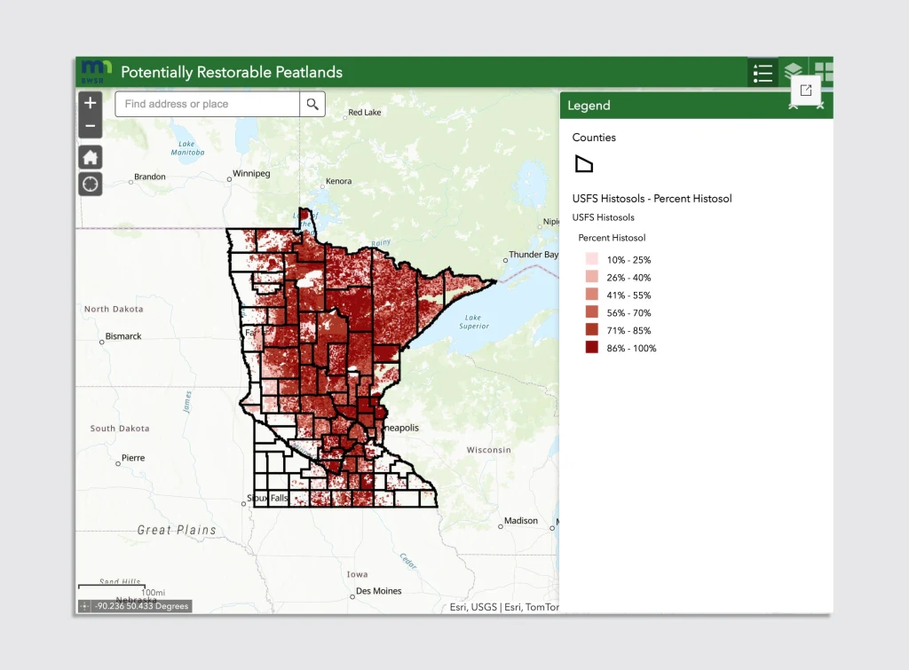
Minnesota is fighting climate change with an aggressive goal to get to 100% clean energy by 2040, and clean car standards. Walz uses maps to look at another part of the challenge: the fact that the state is covered with carbon-rich peatlands that can release huge amounts of greenhouse gases if they’re disturbed. Now, when the state gives land use permits, it uses detailed data about where peatlands are.
This type of map also helps Minnesota residents better understand climate work, Walz said in his remarks. “The issue is, if the public doesn’t know how we’re going to get [to climate goals]—if there’s not measurable, displayable progress that they can see—it’s going to be very difficult to get them to buy in,” he said.
‘Conveying data to people in a complex way helps to build trust’
This spring, after catastrophic rains, Walz used maps with data from rising rivers send resources in advance to help flooded communities. (In the speech, he described riding in a Black Hawk helicopter over the rivers, using an iPad in his lap to track the water data.) It was a different pattern of flooding than in the past, when melting snow was a bigger problem. The new flooding data will also be used to help with future planning as this type of storm becomes more common.
In another program, the state is working to help residents replace old lead pipes. Of course, there’s a map: Anyone in Minnesota can look up their address, find out if they have lead pipes, and then schedule an appointment with a contractor to replace it. The state is covering the cost, with help from federal funding.
He sees maps as a key tool for communication. “GIS helps build trust,” he said at the Esri conference. “Conveying data to people in a complex way helps to build trust. If we can start to build the trust, we can start to make the difference, that triple bottom line that we’re trying to get at: environmental, social, and economic justice.”
Bringing maps to the White House
As vice president, his love of maps could be equally useful. “I think the same way he has looked at Minnesota to be able to get his agencies to work together and share information to shine a more complete light on issues they’re exploring, the same will be true in federal government,” says Cummens. “I think he will quickly learn about the resources that he can tap in all of the different agencies to bring to bear on policy issues at the federal level.”
When Walz talked at the Esri conference, on July 15, Biden hadn’t yet dropped out of the presidential race. But the audience was already convinced that Walz should have a federal role. “After I heard his talk during the conference, the first thing I said to my colleague was ‘Why can’t that guy be running for President?’” one attendee later posted on Reddit.
Source: Fast Company
Sorry, the comment form is closed at this time.